helionavi.com

Mapping Surveying Agriculture

Survey-Grade GNSS Antenna Solutions

High-precision GNSS antenna architectures engineered for surveying terminals, geodetic base stations, and smart farming systems requiring centimeter-level positioning accuracy.

HelioNavi delivers survey-grade GNSS antenna technology, spanning from full-constellation, multi-frequency external Helix models to ruggedized multipoint-feed Patch antenna arrays. By enforcing rigorous sub-millimeter phase center stability and superior circular polarization purity, our hardware guarantees uninterrupted carrier-phase tracking and ultra-fast RTK fixed-rate initialization. These high-gain GNSS antennas provide consistent sub-centimeter precision across the most demanding geospatial deployments, including geodetic surveying, handheld GIS mapping, high-precision photogrammetry, automated tractor guidance, and deformation monitoring systems.

Real-World Challenges for Survey GNSS Performance

GNSS antenna performance in surveying applications is defined by severe field conditions and physical signal blockages rather than ideal static datasheet specifications.

Sub-Millimeter Phase Center Drift

Subtle physical or thermal fluctuations shift the antenna electrical phase center, directly introducing baseline centimeter errors into geodetic measurements.

Heavy Foliage & Canopy Occlusion

Operating under dense agricultural crop canopies or forestry environments severely attenuates satellite signals, forcing standard antennas into unstable "float" status.

Intense Multipath Reflection Noise

Direct GNSS signals bounce off surrounding soil, structures, or machinery, flooding the receiver with cross-polarized LHCP noise and distorting positioning calculations.

Low-Elevation Satellite Signal Fade

Satellites near the horizon are prone to severe diffraction and obstruction, demanding exceptional low-elevation gain and an extremely tight axial ratio.

Severe Environmental Weathering

Outdoor terminals face constant exposure to extreme UV rays, heavy rain, dust, and chemical fertilizers, requiring ruggedized IP67 radome engineering.

Core Engineering Capabilities

15+Years GNSS Antenna R&D and Computational Microstrip Experience
100,000+Units Field-Deployed Surveying Elements and OEM Integrations Globally
Sub-Millimeter Phase Center Consistency Under Extreme Thermal and Dynamic Variances

Full-Constellation Tracking

Multi-frequency tracking across GPS, GLONASS, Galileo, BeiDou, QZSS, and SBAS for robust positioning in all environments.

Optimized Low-SWaP

Ultra-compact, lightweight designs with low power consumption for size- and energy-constrained platforms.

Phase Center Stability

Stable phase center and low variation under vibration, temperature, and dynamic platform motion.

Bespoke RF Integration

Custom RF tuning, cable routing, and mechanical integration for optimal performance in complex onboard environments.

Full-Constellation, Multi-Frequency Tracking

Simultaneous tracking across GPS, GLONASS, Galileo, and BeiDou (L1/L2/L5/B1/B2/B3) maximizes satellite availability and secures rapid RTK convergence under partial sky obstructions.

Sub-Millimeter Phase Center Variation (PCV) Control

Advanced multi-point feed design and calibrated topology ensure an exceptionally stable electrical phase center, satisfying survey-grade RTK precision tolerances.

Hemispherical Radiation Pattern Optimization

High-gain radiation patterns deliver cross-polarization rejection and high gain at low elevation angles, eliminating ground-reflected multipath interference.

Ruggedized Radome & Environmental Sealing

Industrial-grade housing configurations use UV-stabilized, high-impact materials with complete IP67 sealing to resist long-term field degradation.

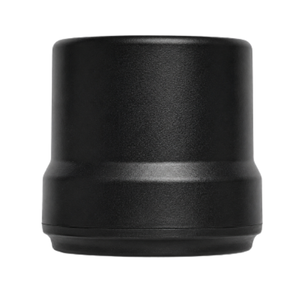
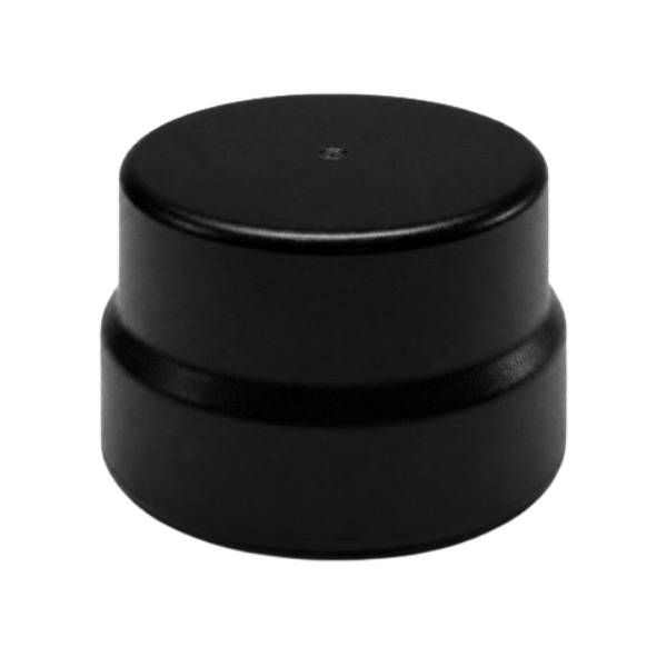
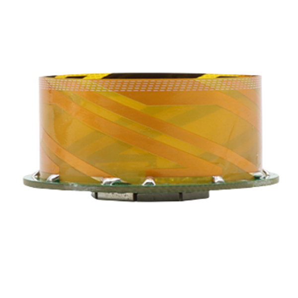
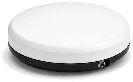
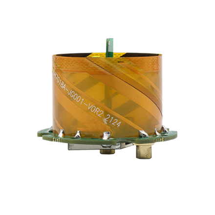
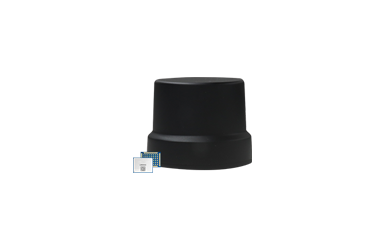
External survey helix antenna Embedded patch antenna External survey antenna
01

High-Precision Positioning Antennas (Helix & Patch)

  • Helix and patch antennas for high-accuracy positioning
  • Excellent multipath rejection and wide bandwidth
  • External and embedded options for flexible integration
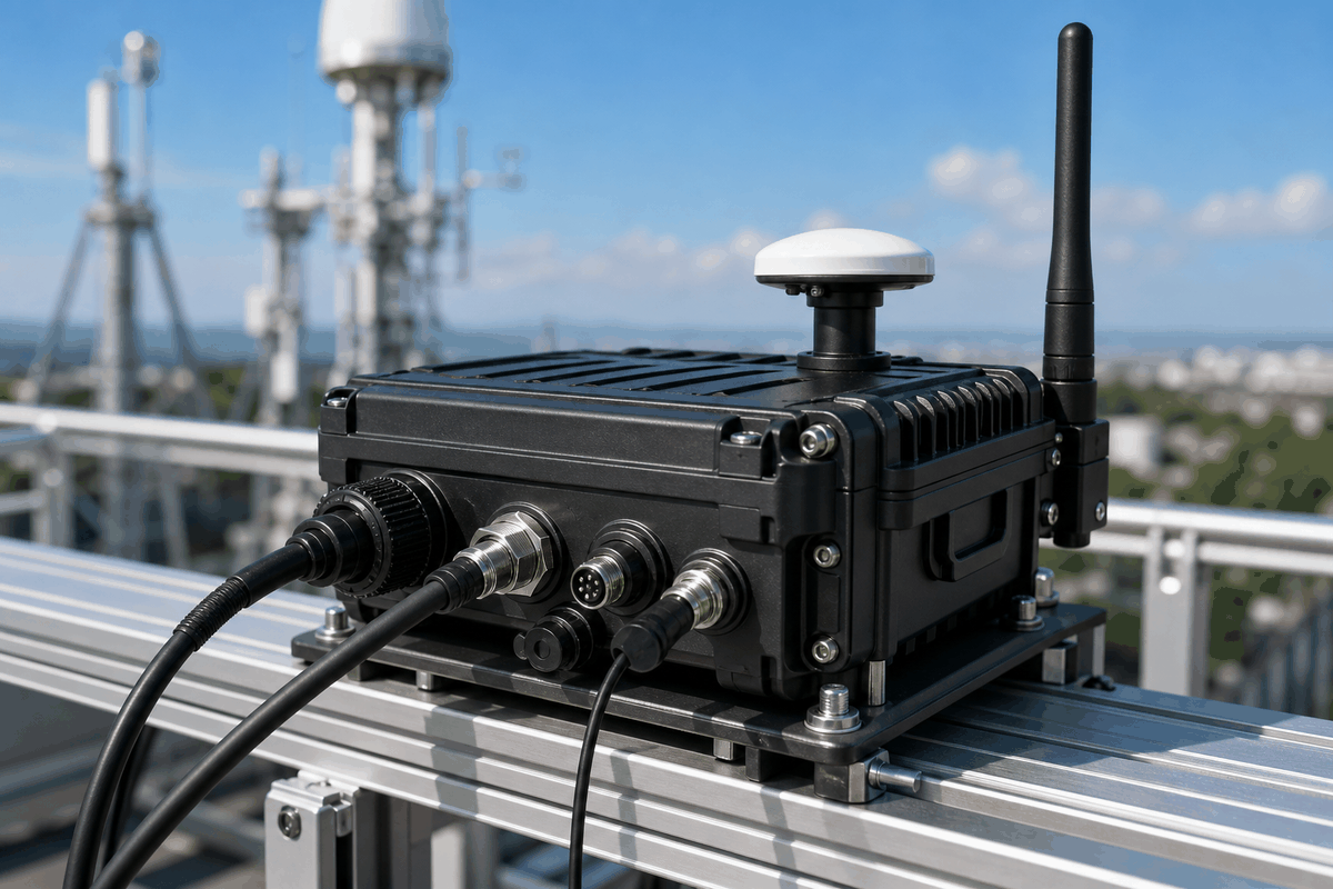
GNSS communication combo antenna Vehicle mounted combo antenna subsystem
02

Multi-Functional Combo Antennas (GNSS + Communication)

  • Integrated GNSS with 4G/5G, Wi-Fi, or telemetry antennas
  • Optimized isolation and RF performance
  • Reduces system complexity and saves integration space
Survey smart integrated GNSS antenna Integrated survey helix antenna
03

Smart Integrated GNSS Antennas (Antenna + GNSS Receiver)

  • Integrated antenna and GNSS receiver for compact systems
  • High-precision RTK solution reduces wiring and weight
  • Plug-and-play performance with easy integration

Applications

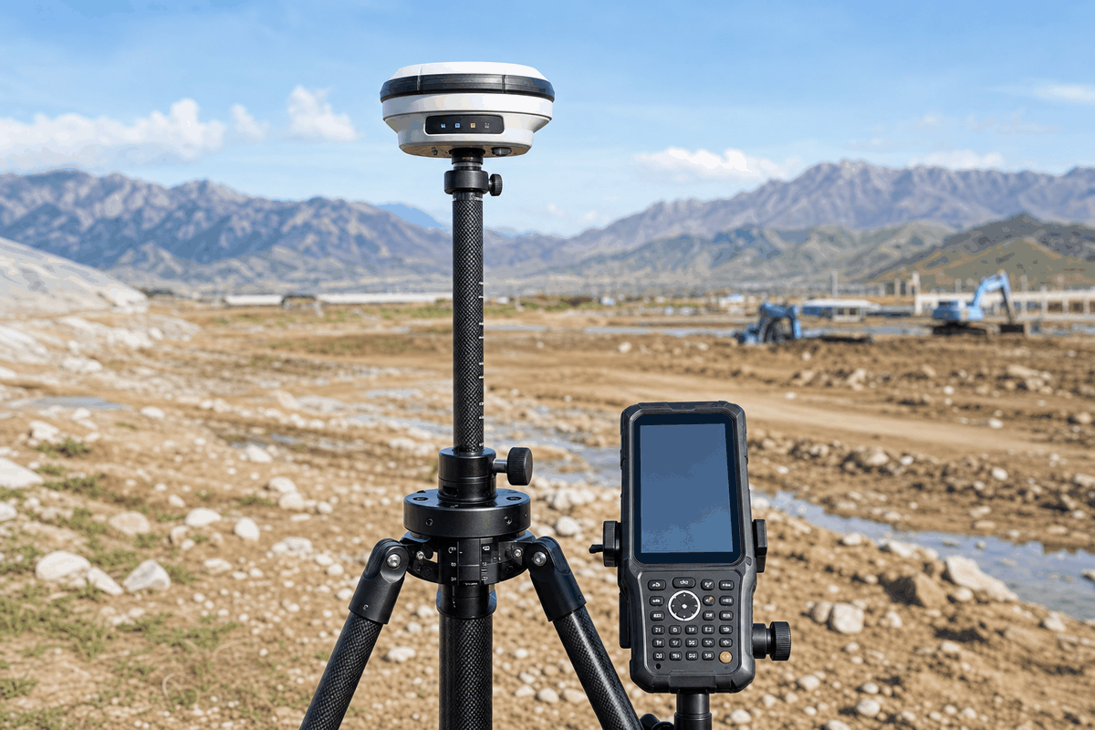
Geodetic surveying rover

Geodetic Surveying CORS networks & engineering base stations

Precision agriculture crop field

Precision Agriculture UAV crop surveying & autonomous tractor guidance

Aerial photogrammetry drone

Aerial Photogrammetry UAV mapping & airborne LiDAR

GIS data collection equipment

GIS Data Collection Handheld RTK terminals

Structural monitoring environment

Structural Monitoring

Survey Antenna Integration Support

HelioNavi provides engineering-level technical support for surveying terminal design, reference station setup, and precision agriculture hardware integration. We comprehensively evaluate:

  • Terminal device layout constraints for handheld, base station, or machine roof mount
  • Target GNSS frequency band requirements and redundancy profiles
  • Chassis ground plane conditions and composite radome housing specifications
  • Co-site RF interference, telemetry radio coexistence, and digital crosstalk
  • Sub-millimeter RTK phase center calibration and baseline accuracy metrics

Request Survey GNSS Antenna Engineering Recommendation

Our experts are here to answer your technical questions about high-precision surveying, GIS mapping, and smart agriculture hardware. Contact us and our technical engineering team will be in touch as soon as possible to help optimize your hardware build.